OTHER / 2026
Canadian Wildland Fire Information System
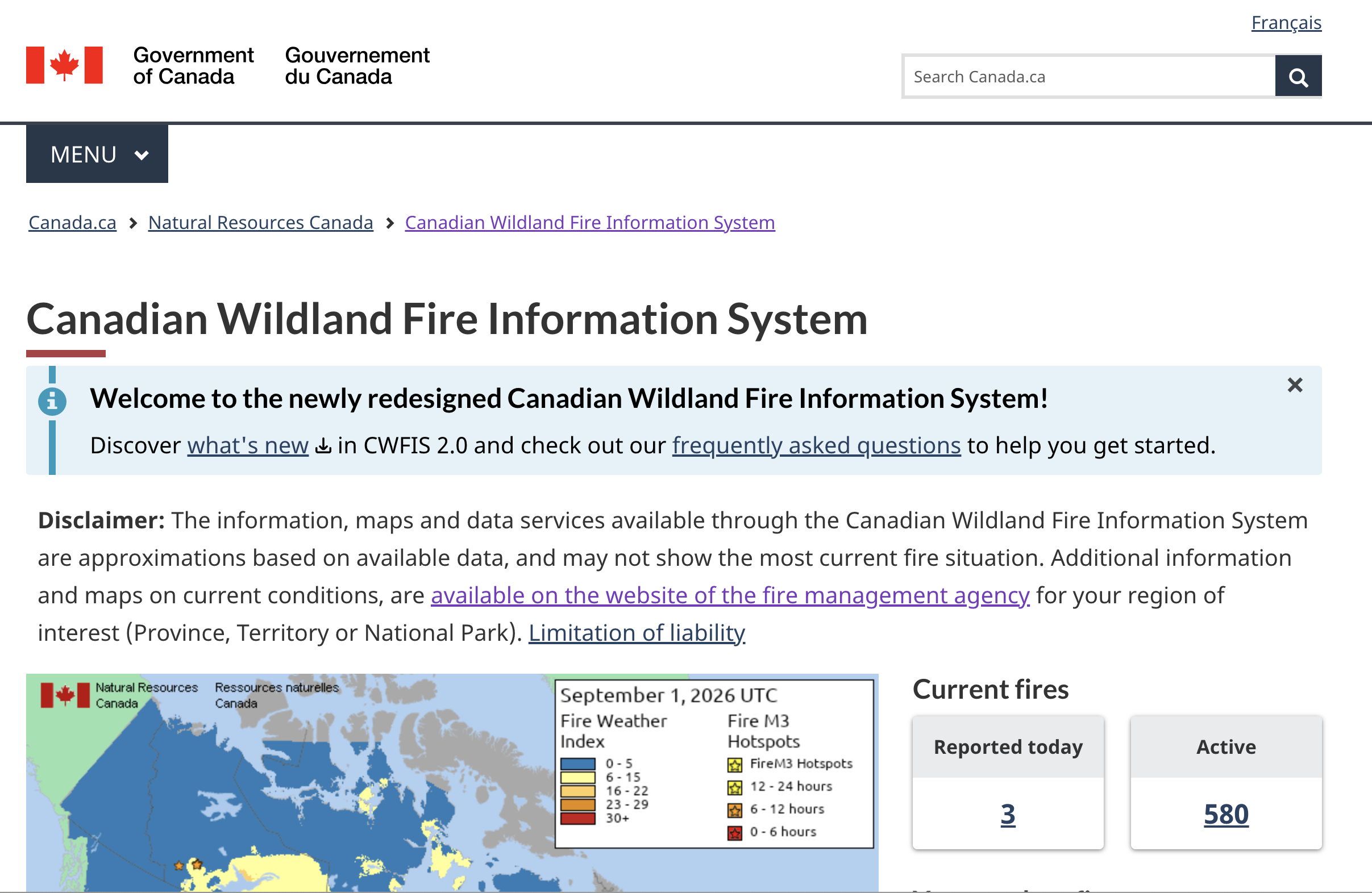
The newly redesigned Canadian Wildland Fire Information System monitors fire danger conditions and fire occurrences nationwide. Current and forecast fire weather and fire behaviour maps are produced using weather data from across Canada. Wildland fires are detected by satellites and reported fire locations are collected from fire management agencies.
Organizations
- Natural Resources Canada