OTHER / 2026
FireView 2026
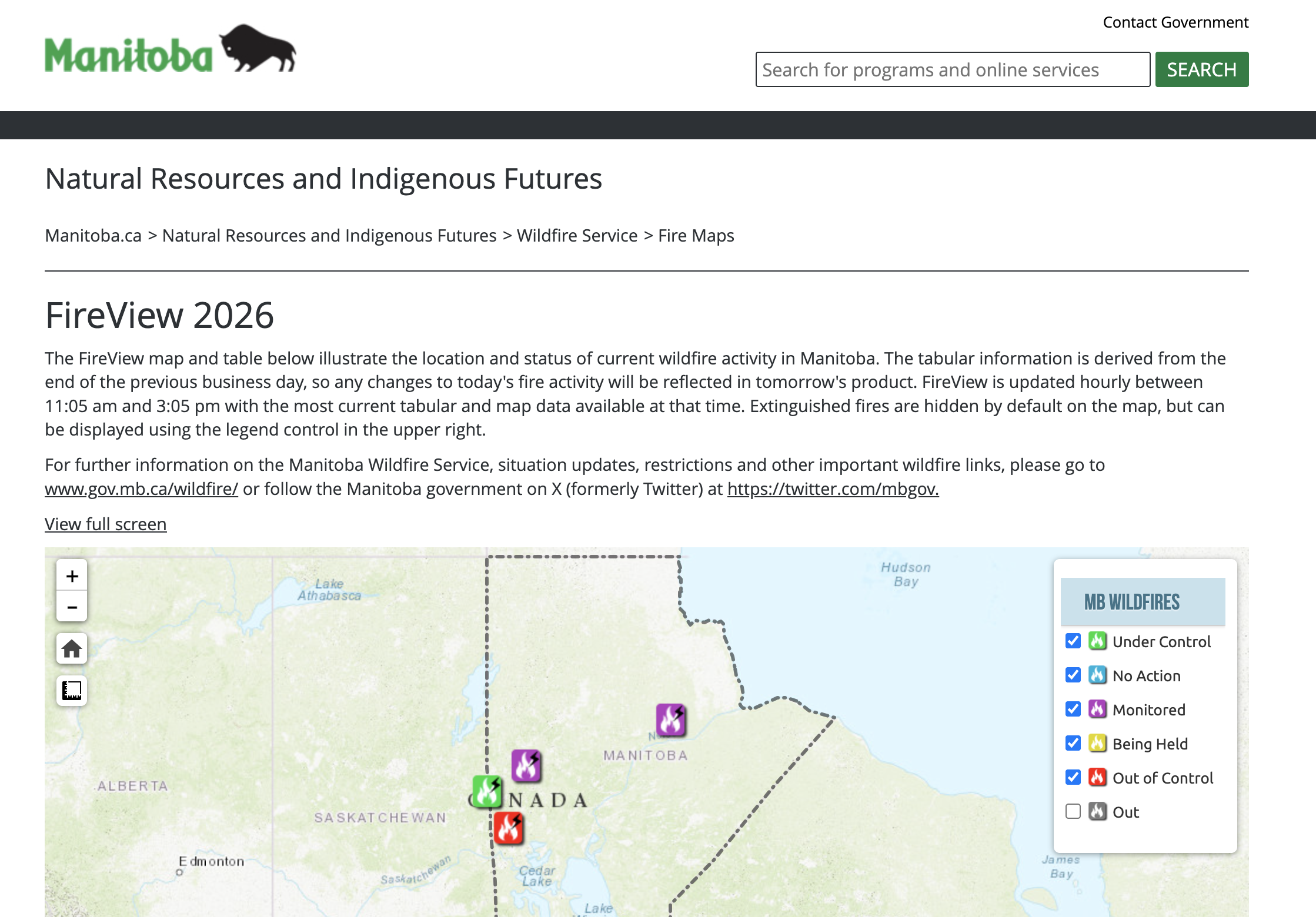
The FireView map and table illustrate the location and status of current wildfire activity in Manitoba. The tabular information is derived from the end of the previous business day, so any changes to today's fire activity will be reflected in tomorrow's product. FireView is updated hourly between 11:05 am and 3:05 pm with the most current tabular and map data available at that time.
Organizations
- Government of Manitoba